The Wrong Baiyanggou
Tuesday, August 17th, 2010 in: News

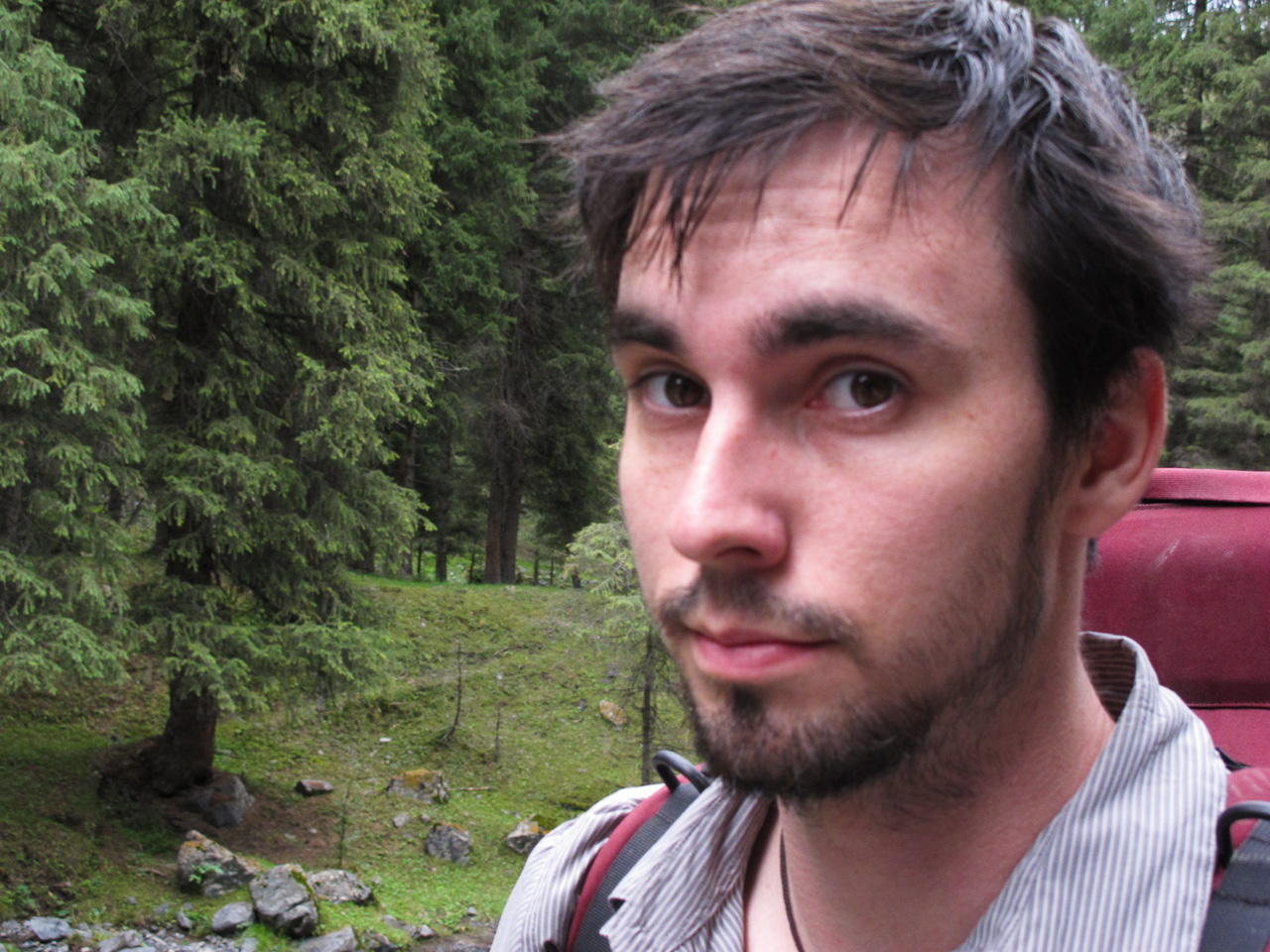
Our main goal for going to Xinjiang was to do a little exploring in the mountains, camping in a river valley, then hiking a mountain pass and walking to Heaven Lake (天池), a popular tourist attraction not far from Urumqi. I didn’t have that much experience backpacking to begin with, but I couldn’t deny the allure of backpacking in uncharted territory in China. We set about making our plans a reality, asking Madina and her friends how feasible it was. Our starting point was a village called Baiyanggou, and it turns out there’s a bus that runs there directly from Urumqi. We were a bit surprised both that people knew about the place and that there was a bus there, since it looked like a very small collection of houses on Google maps. So far, we had every reason to be optimistic about our journey.
That morning, we cabbed to the Uyghur side of town to go to the bookstore for a map of the area. After a nice breakfast of Polo (rice pilaf) and baked meat dumplings, we went to the bookstore only to be disappointed; it seems that there are no good terrain maps of the Tianshan range, or any part of Xinjiang for that reason… We decided to go to a Wang-ba (internet cafe) and get some print-outs from google maps… better than nothing.
In China, nothing is that simple. Whereas you couldn’t throw a handful of beans without hitting an internet cafe in Beijing or Xingtai, we had to wander and ask around for 20 minutes before we found one tucked away on the 5th floor of a hotel, which required a deposit and a photocopy of Dan’s passport (which they checked again three times). They gave us a card we had to insert into the computer for it to even turn on, and they didn’t have a printer, so we had to take photos of the maps with our phones and cameras. All of this hassle ended up costing us 1 yuan.
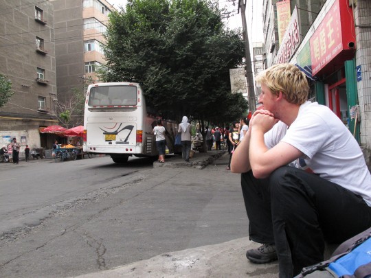
 Finally armed with some reassurance that we knew the terrain, we cabbed to the bus station and waited for the next departure. The person at the ticket counter didn’t blink twice when we said we were going to Baiyanggou, and issued us tickets. The name was right. Dan and I settled into our seats and smiled. “I can’t believe this is happening, it seems too easy.”
In China, nothing is that simple.
 About an hour into our bus ride, Dan took out his phone. After studying the map for a minute, he groaned. What’s wrong, I asked him, and he handed me the phone. He’d dropped red points denoting our two potential destinations for the start of our hike, and the blue pulsing dot denoting our location was slowly moving down the highway–the wrong way. Dan zoomed in on the map and a ways down the road we were traveling was a place called Baiyanggou. He spent the next few minutes looking it up online. “It looks like a pretty cool place, although it’s not the one we intended to go, there’s no turning back now so we might as well check it out and stay a night. We can catch the morning bus back to Urumqi and try again.” It was only a 9 yuan bus ride (for a 2+ hour ride), so we were only losing time.
 When we arrived at the scenic area, we had to pay 15 yuan each to enter the “park.” A few young Kazakhs approached us and asked if we wanted to stay in the yurts surrounding the entrance to the park. We patted our backpacks and assured them we’d be alright. Their amusement overshadowed their disappointment at losing a sale, and we struck off down the road that wound through the valley. The landscape was dotted with houses and other buildings, with people on horseback trotting between them. We stopped to relieve ourselves at one of the bathrooms along the road and when we came out we were accosted by a young boy who demanded a 1 yuan “pee fee.” We balked at his cheek but just then a Chinese tourist walked in and unflinchingly paid the urinal ransom. We figured if he could swindle the Chinese tourists we’d give him his 13 cents.
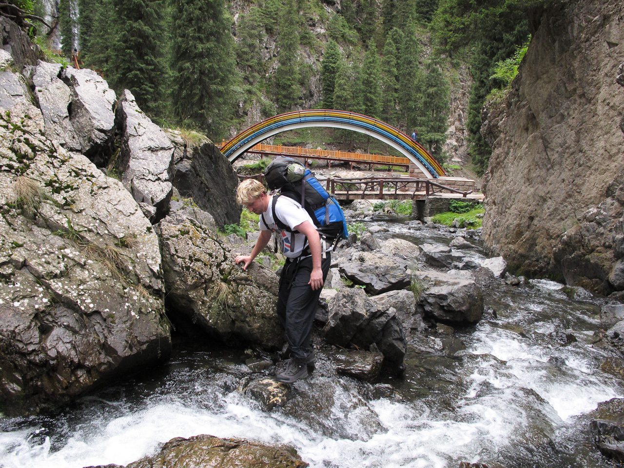
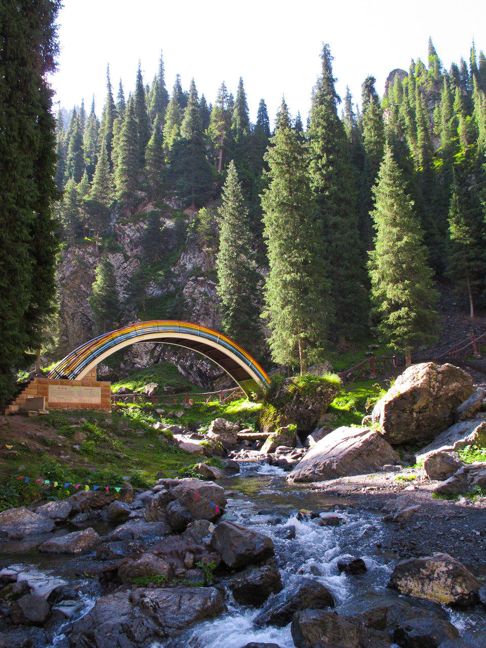
After about an hour we spotted an unusual bridge that loomed over a fork in the river feeding the valley. The posted sign was in Chinese and Uyghur, but I could make out that it was built with the donations of Urumqi locals and a Japanese “friend.” What better way to express international friendship than a big-ass rainbow in the middle of nowhere?
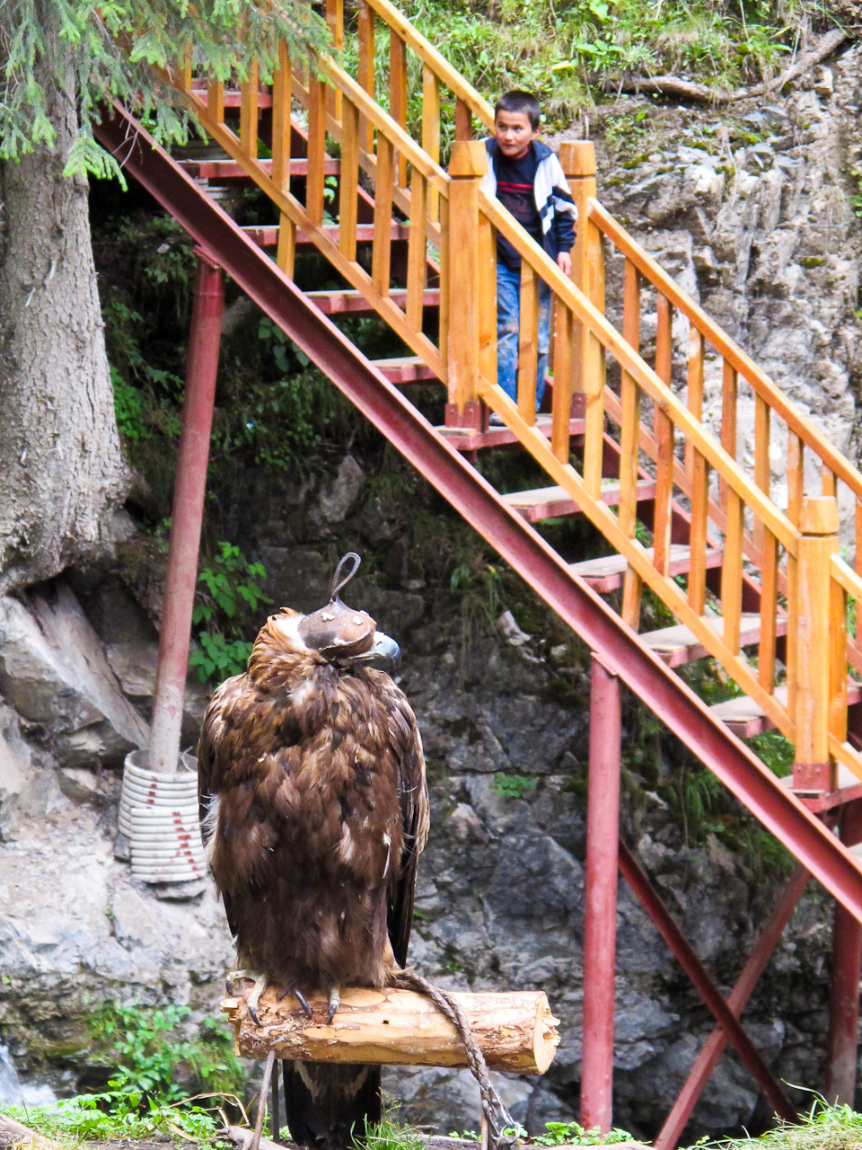
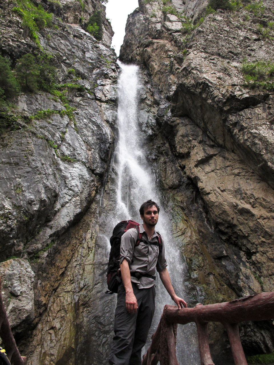
 Past the bridge we saw the main attraction at the end of the road: not a lake as I had originally been led to believe by all the photos on our entrance tickets, but a rather large waterfall feeding one leg of the river we had just crossed. It couldn’t compare to the falls at Yosemite, or Kegon no Taki in Nikko, but it was the most impressive I’d seen yet in China. Just short of the base of the fall was a small yurt on the path, across from which was an old man was napping on a bench, next to a big stuffed falcon.
Wait, no, it was real. A real hunting falcon with a hood over its face. Oh China, you and your randomness. A few Chinese tourists later were taking photos with the bird. We decided not to bother the only creature within 100 miles capable of gouging our eyes out, and started to head back down the path to look for a place to set up camp, away from the trail.
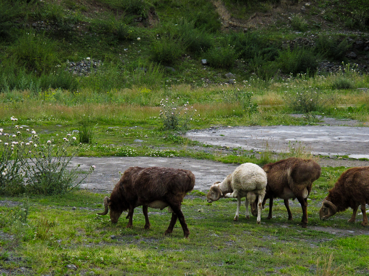
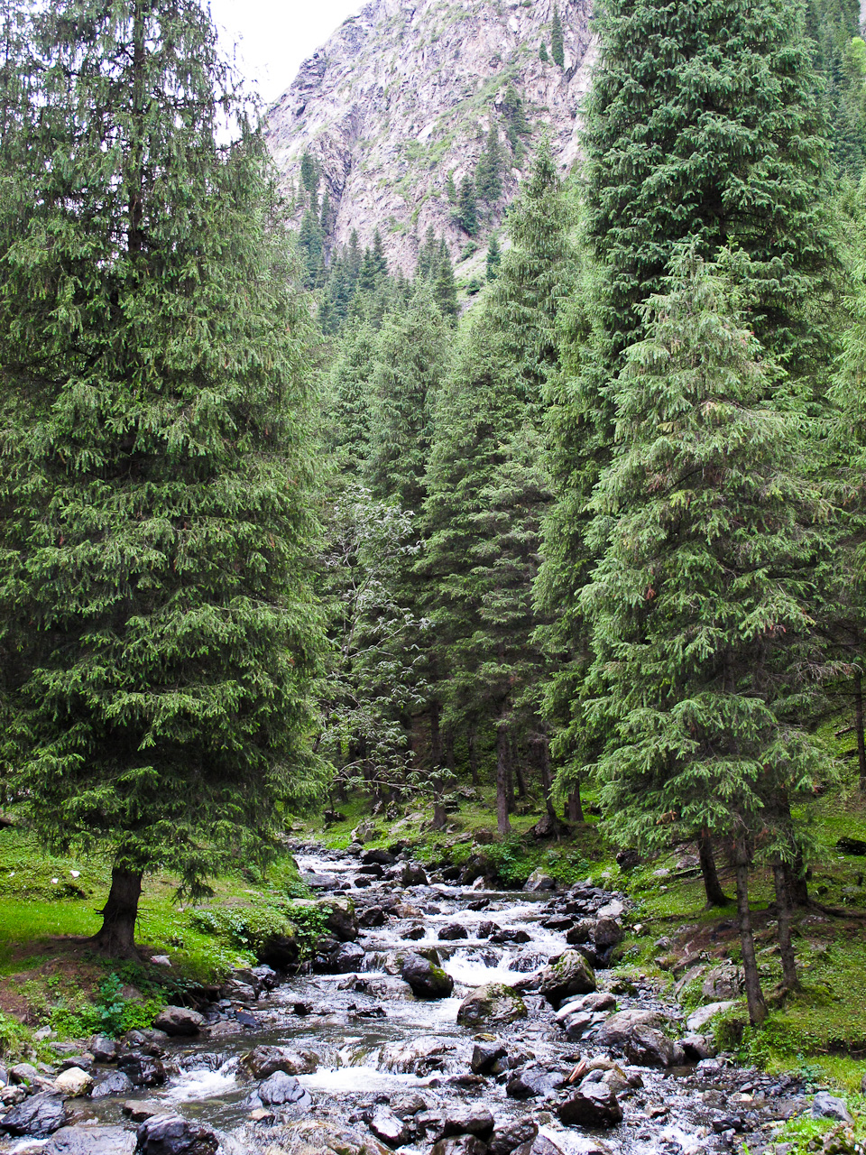
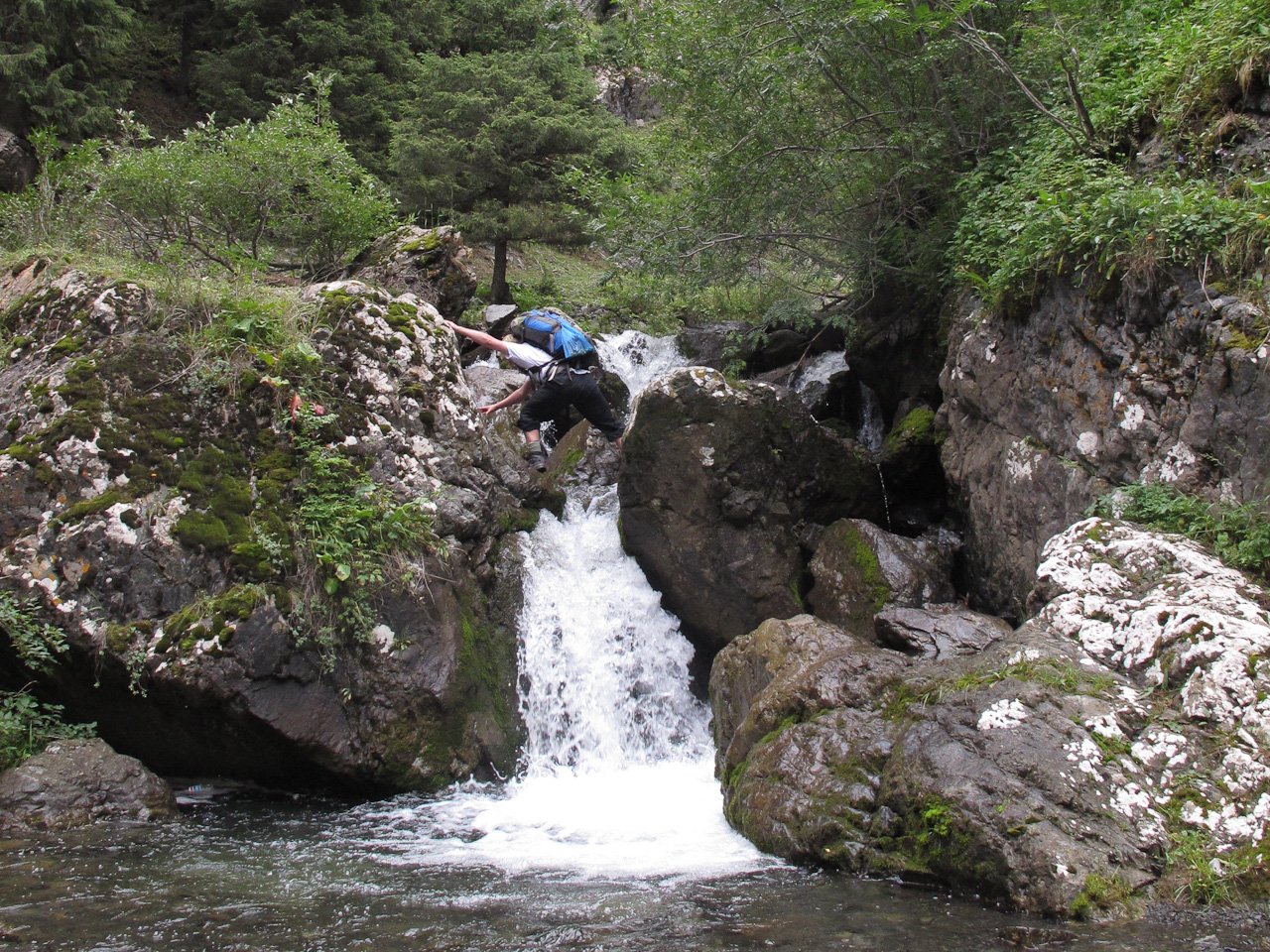
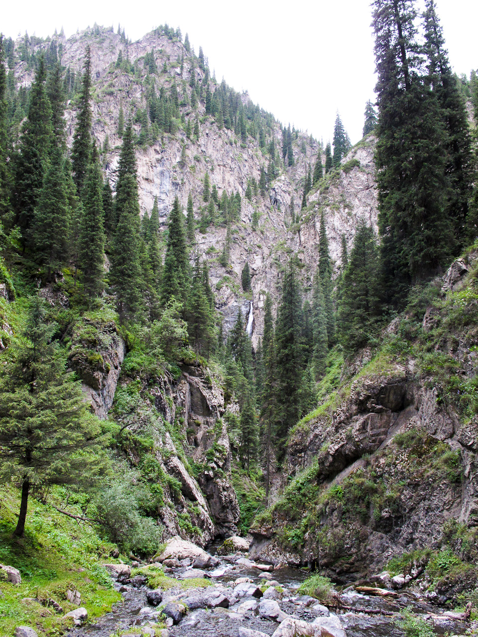
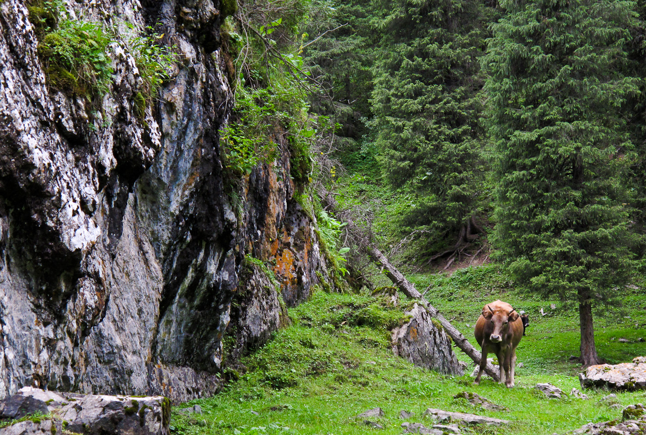
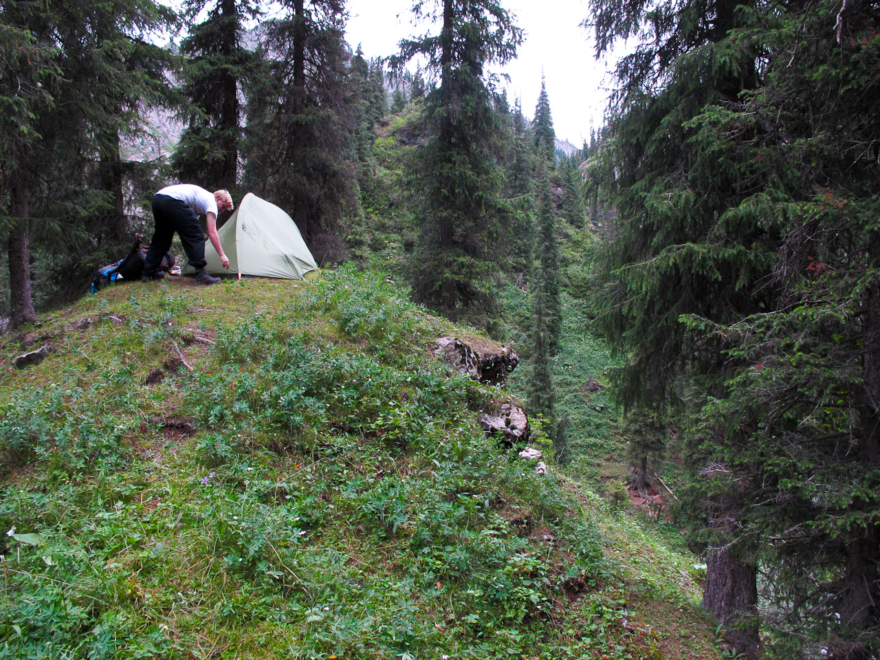
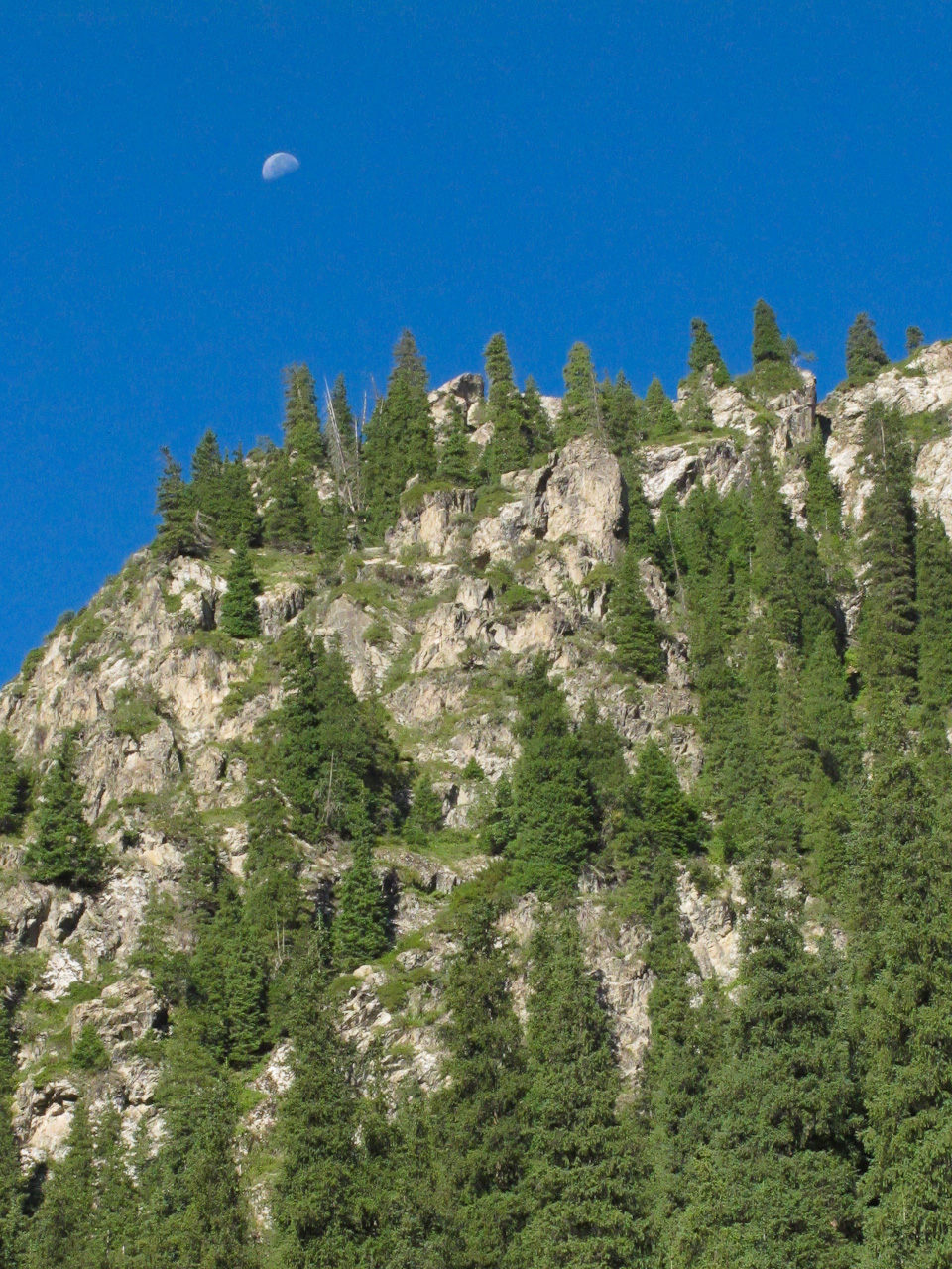
 We decided, on Dan’s insistence, to climb up the riverbed past the rainbow bridge to look for a more obscure camping spot. We had to cross the torrential waters a few times, hopping from one slippery stone to the next. The difficulty of our ascent only provided further encouragement to press onward and find a flat spot to stake our claim. The river bent to the right and into a lush valley, lined with conifers and dotted with cows happily grazing. To the side of the river was a large rocky outcropping about 50ft above the valley floor. It seems relatively flat at the top, so we trudged up the steep incline and discovered there was just enough space for our tent. The ground wasn’t very flat but the view was breathtaking, so we decided to set up camp there.
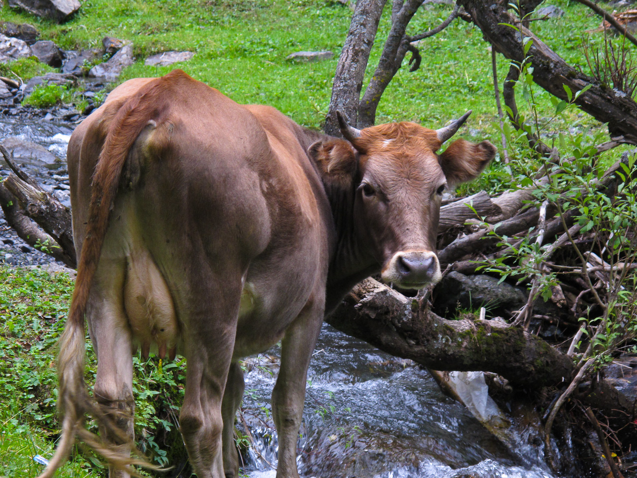
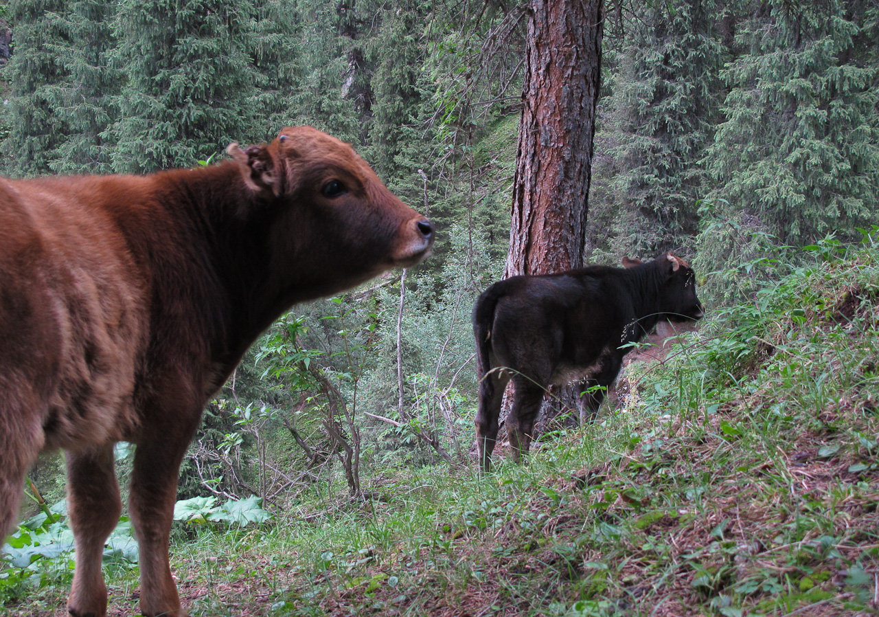
Exploring the valley a little further, we found a horse trail that ran along the slope facing our camp, but from several different vantage points we were barely able to make out our tiny green tent, even when we knew where to look. Only ourselves and a few curious cows knew where our camp was.

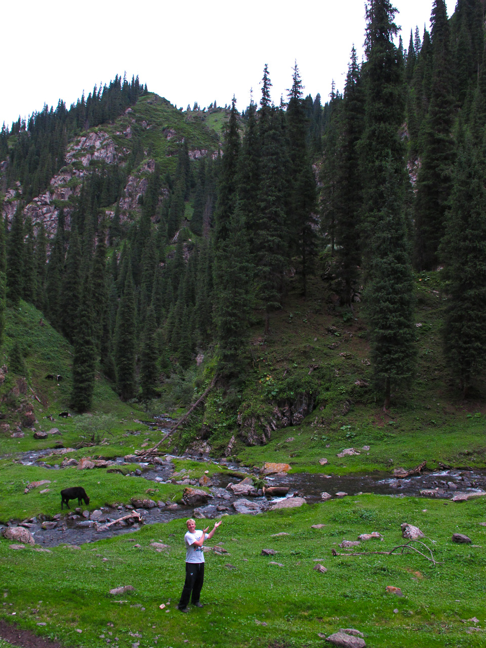
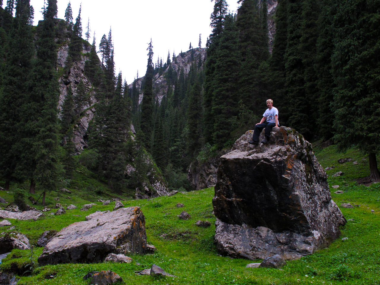
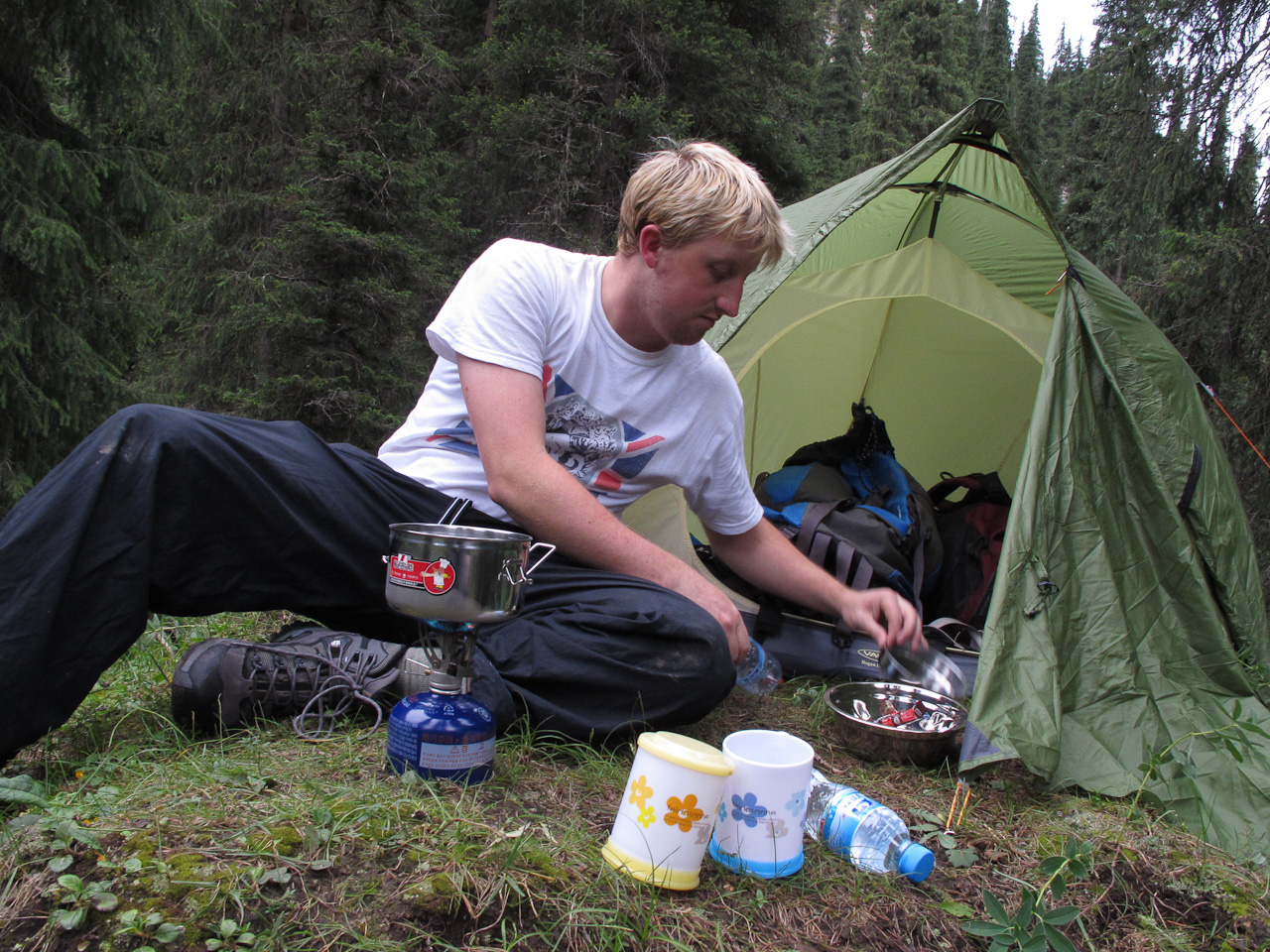
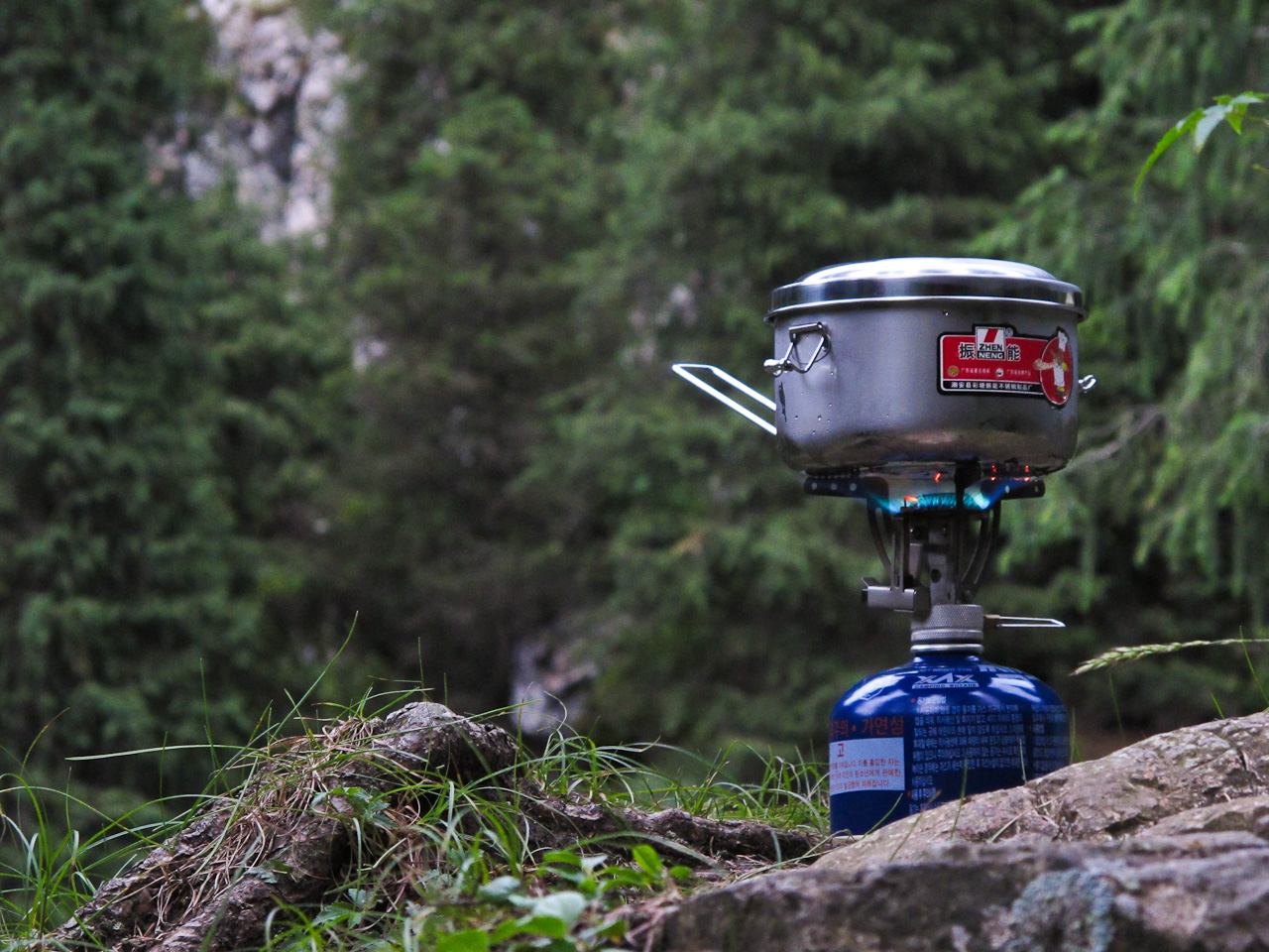
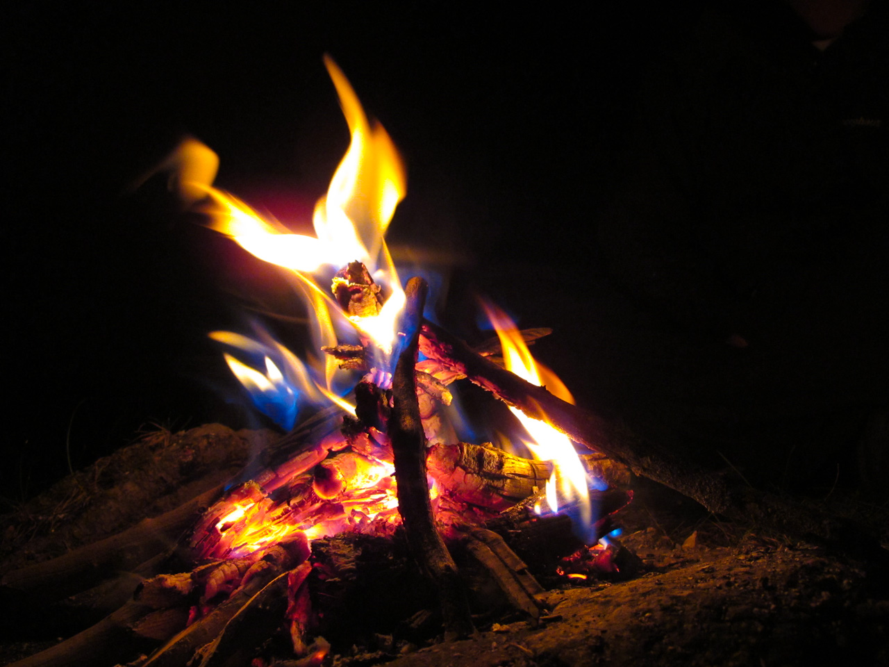
We refilled our water bottles at the clear mountain stream and I found a fun boulder to play around on before we retired to our vantage point and started boiling water for our coffee and instant-noodle dinners. I read Dan’s SAS Survival Guide while he started a fire. There was something exhilarating about camping in a spot off the beaten path, with no one’s permission but our own sense of adventure. I was a little nervous about being found out, and had a minor anxiety attack when I saw a couple people plodding down the horse trail. We almost put the fire out, but although I thought I saw one of them look up at us, there was no notable reaction and they continued on their way. If they did see us, they didn’t care. A part of me was relieved, but the naughtiness of our squatting remained in the back of our minds, teasing us subconsciously so that we both shared dreams of being discovered by unhappy locals.
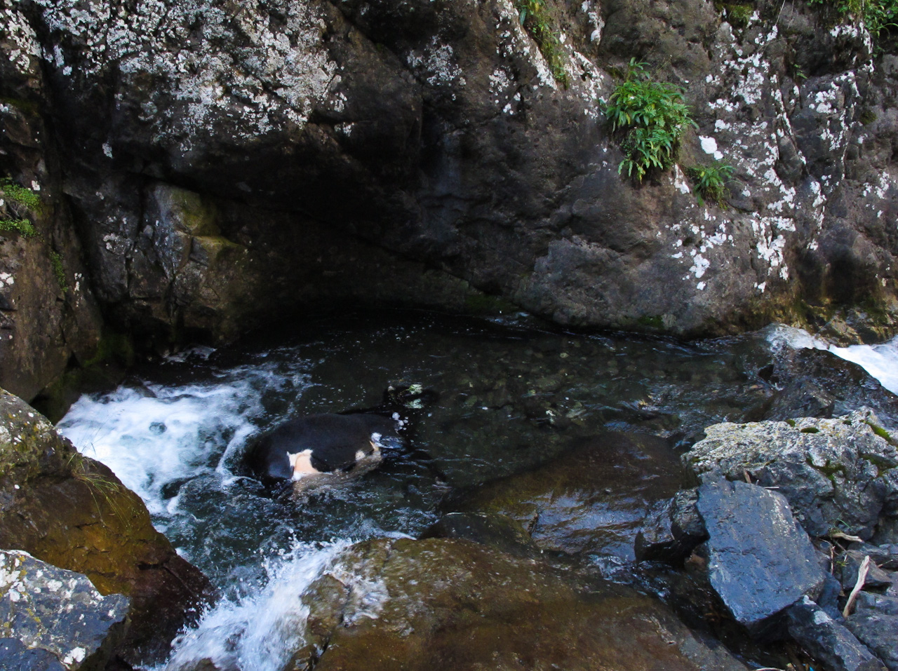
The next morning we awoke to a beautiful view from our perch, and we descended back down towards the road. A cow had apparently lost its footing the night before and had drowned in a pool on the way down. I took a photo to show the locals so they could remove it before it polluted their water supply. A smiling Kazakh with a golf cart gave us a ride back to the Yurts at the entrance, where the next phase of our journey began: retracing our steps.


Leave a Reply